
12:23Machine-translated from Azerbaijani by AIRead in Azerbaijani
Apple Maps Blurs Images of Some US Military Bases
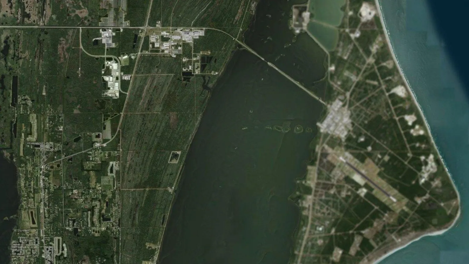
Apple Maps has begun showing blurred satellite images of some sensitive US government facilities. The change affects several NASA, US Space Force and Air Force bases. Runways, fighter jets and rockets on launch pads in those areas are no longer clearly visible. Apple has not issued an official statement on the matter.
The blurred sites include Wallops Flight Facility in Virginia, Stennis Space Center in Mississippi and Cape Canaveral Space Force Station in Florida. Vandenberg Space Force Base in California has also been obscured in the same way. Some of these locations contain military launch pads and infrastructure related to classified satellites. The images are believed to have been changed recently.
However, Apple Maps has not blurred all military facilities. Major naval facilities such as Pearl Harbor, Norfolk and Naval Station Great Lakes are still clearly visible. The same applies to some Air National Guard bases. None of the listed space and military sites are blurred on Google Maps.
One of the obscured sites is Whiteman Air Force Base, which is home to most of the B2 bombers capable of carrying nuclear weapons. Ellsworth Air Force Base, where B-1B bombers are stationed, also appears blurred. However, Dyess, another base where these aircraft are stationed, remains clearly visible. Images of Barksdale Air Force Base, where most B-52 bombers are kept, have not been obscured either.
Kennedy Space Center and its 2 historic launch pads remain clearly visible for now. Although the airfield at Wallops Flight Facility has been blurred, the facility’s launch pads remain visible. Groom Lake, known as Area 51, and Los Alamos National Laboratory are also now blurred on the map. It is unclear whether Apple will obscure other government facilities or how the map’s directions feature will work at these bases.